Lahore Model Town: From the Archives
Locating the Model Village
The location of the site was crucial for the success of the proposed co-operative Model Town. Like the English garden suburb from which it took inspiration, the site was to be located close enough to the city so that the middle-class residents might easily commute to work, yet maintain a distance to avoid the congestion and pollution of Lahore. Accordingly, the designer Khem Chand proposed a distance of six or seven miles from the city.
The site finally selected was part of Rakh Kotlakhpat, a rich forest plantation of mulberry and shisham trees, south-east of Lahore adjacent to the Ferozepore Road. It was at an accessible distance from Lahore, located just 1½ miles from the nearest railway station and 5½ miles from the Lahore District Courts, where many of the residents worked. As the following image shows, the Model Town was planned with a low density to provide a serene and healthy environment. According to Government sanitary reports of 1919–20, the locality was the healthiest in the Punjab.
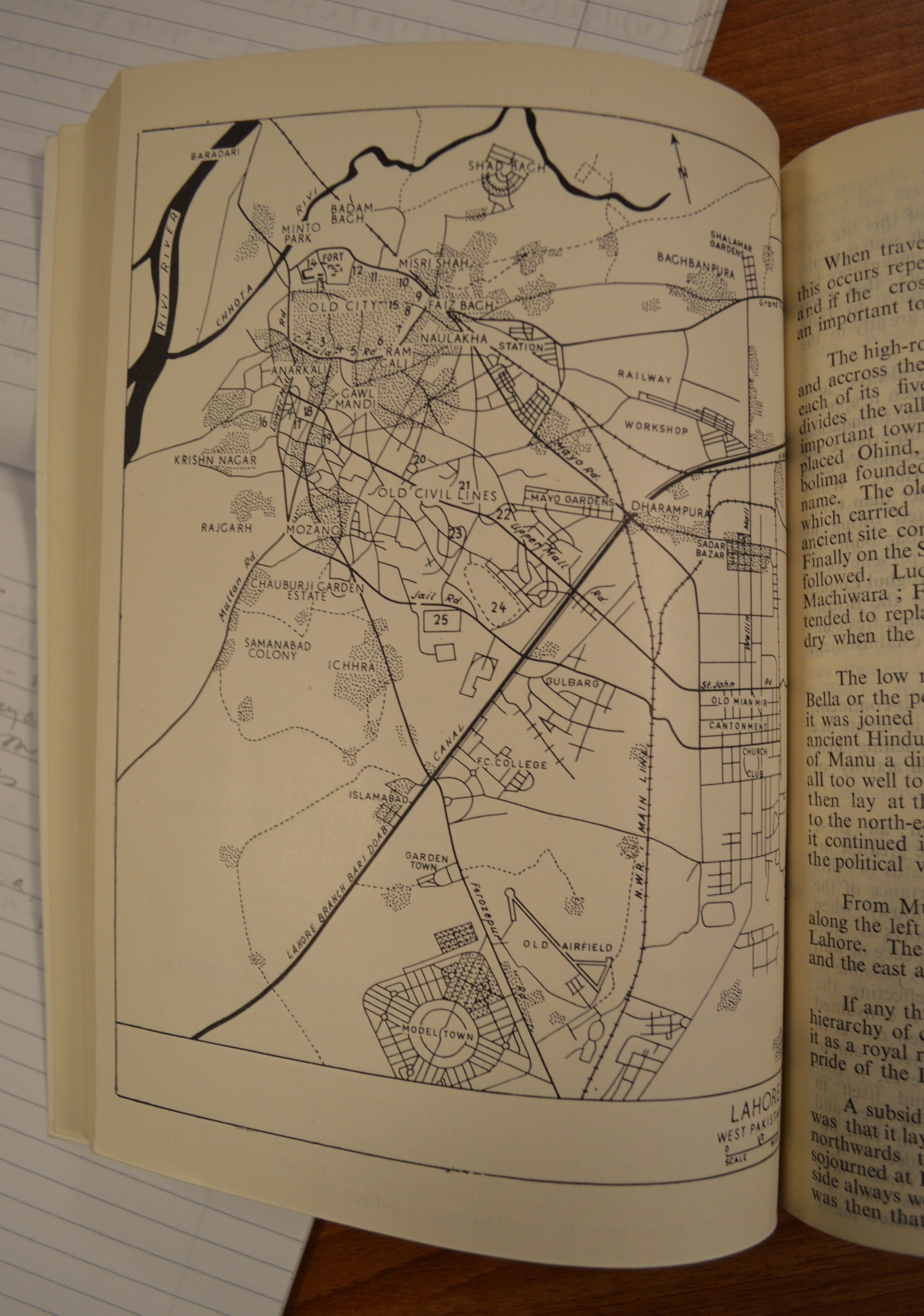
This plan is taken from Towns and Villages of Pakistan, A Study by Grenfell Rudduck (July 1961), a publication from the papers of the British town-planner and architect William Holford (1907–75), held at the Liverpool University Archives & Special Collections.

Great share! This post is very useful.